Commercial, Residential & DOT Surveying
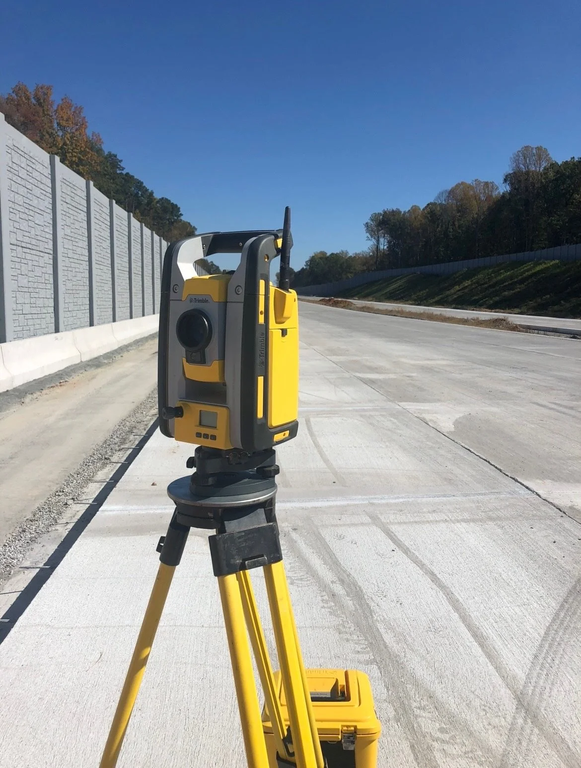
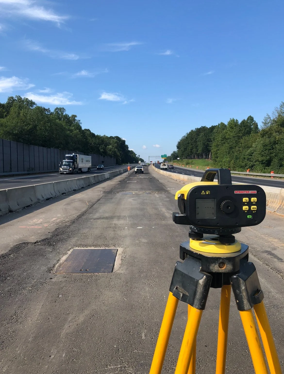
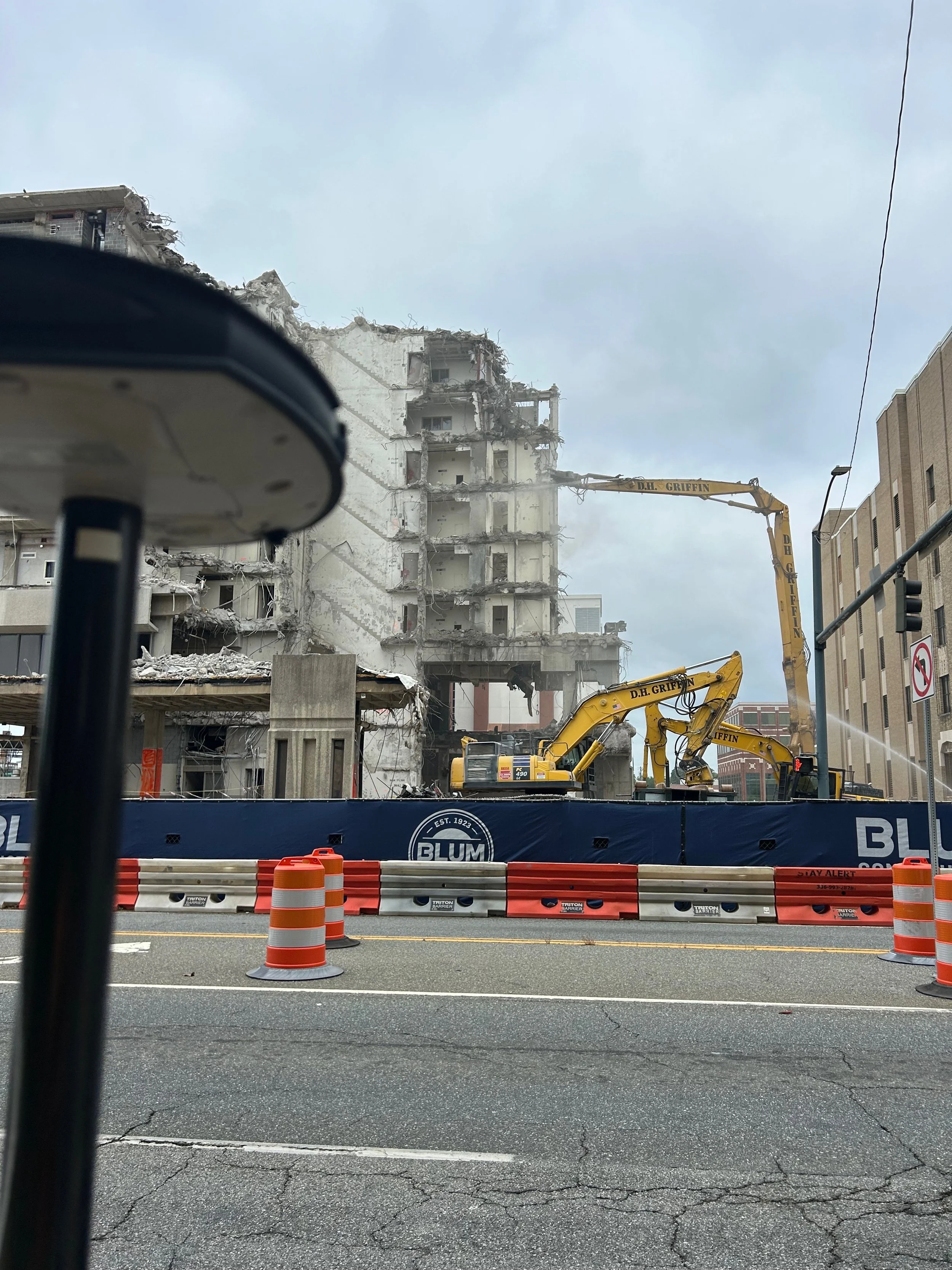
Level Cross Surveying is trusted by the North Carolina Department of Transportation (NCDOT) and contractors statewide for accurate, dependable surveying on major highway projects. From control networks and staking to topographic surveys, plats, and as-builts, our team provides the precision and efficiency needed to keep North Carolina’s infrastructure on track.
-
ALTA/NSPS Survey
An ALTA/NSPS Land Title Survey is the gold standard for commercial property transactions, often required by lenders, title companies, and attorneys. It provides a comprehensive picture of a property’s boundaries, improvements, easements, rights-of-way, and potential encroachments. We prepare ALTA surveys to the strict specifications set by the American Land Title Association and the National Society of Professional Surveyors, ensuring clients have the detail and accuracy needed for high-value real estate deals.
-
Boundary & Subdivision Survey
A boundary survey establishes or reaffirms the exact property lines of a parcel of land, while a subdivision survey divides larger tracts into smaller lots for development or sale. Both are essential for property transfers, development approvals, and resolving disputes. Our team uses state-of-the-art equipment and research of historical records to provide clear, reliable results that stand up in legal and planning settings.
-
FEMA Certificates
We provide FEMA Elevation Certificates to document property elevations in relation to flood zones. These certificates are often required for flood insurance, new construction, or property sales. By accurately determining base flood elevations, we help homeowners, developers, and insurers assess risk and meet regulatory requirements.
-
Setting Benchmarks and Control
Benchmarks and control networks form the backbone of any construction or engineering project. We establish permanent reference points that ensure consistent accuracy throughout design, construction, and long-term monitoring. Our crews use GPS and traditional methods to set control that meets local, state, and federal standards.
-
OCRM Delineations
Office of Coastal Resource Management (OCRM) delineations define jurisdictional boundaries of coastal areas subject to regulation. These surveys identify wetlands, tidal zones, and other sensitive features to guide compliance with environmental laws. We provide accurate mapping that helps clients plan projects responsibly while staying within regulatory limits.
-
Construction As-Built Survey / Record Drawings
As-built surveys (also called record drawings) document the exact location and dimensions of constructed features compared to design plans. These are critical for verifying compliance, obtaining project approvals, and guiding future maintenance. We deliver precise as-built surveys for roads, utilities, buildings, and infrastructure.
-
Easement and Right-of-Way Plat
Easement and right-of-way plats identify areas of land designated for utilities, access, or transportation corridors. These plats are often required by municipalities, DOTs, and utility providers. Our team prepares plats that meet strict recording standards and provide clear, legally defensible documentation.
-
Global Positioning Survey (GPS) Support
We utilize GPS and GNSS technology to provide fast, accurate survey data across large and complex sites. GPS surveys are essential for control networks, topographic mapping, and large infrastructure projects. Our expertise ensures reliability, whether in open fields or challenging environments.
-
Borrow Pit Survey
A borrow pit survey measures excavation areas used to supply soil, gravel, or other materials for construction projects. We calculate volumes, monitor quantities removed, and document compliance with permits. These surveys help contractors track resources and costs with precision.
-
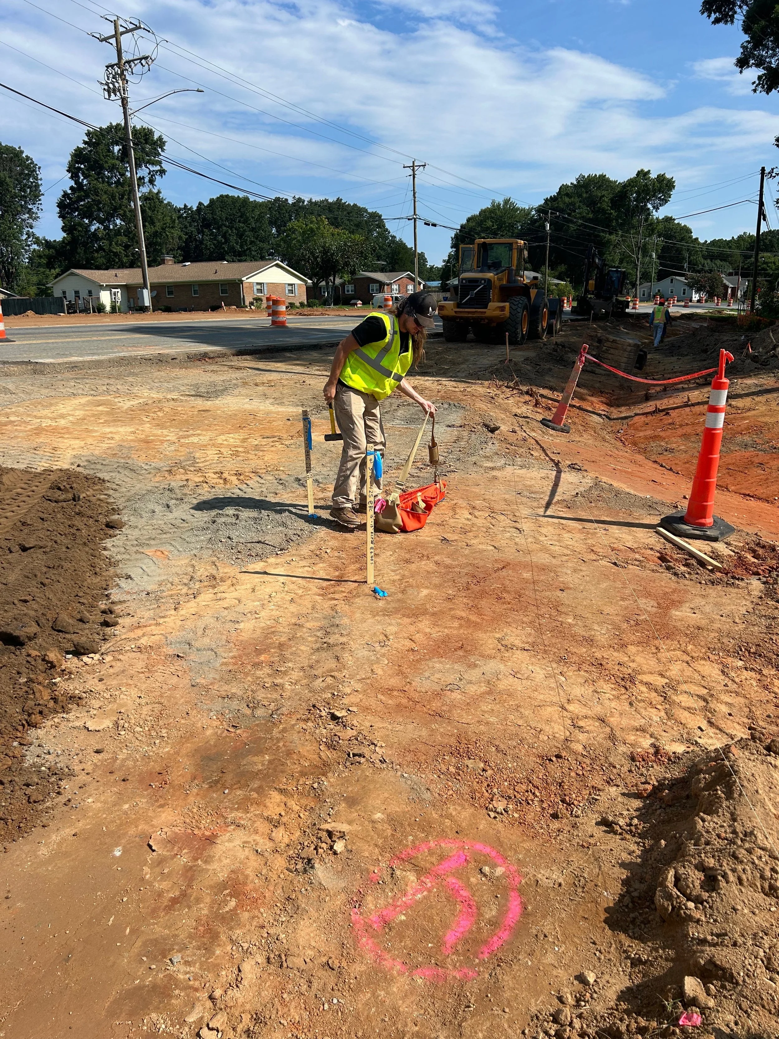
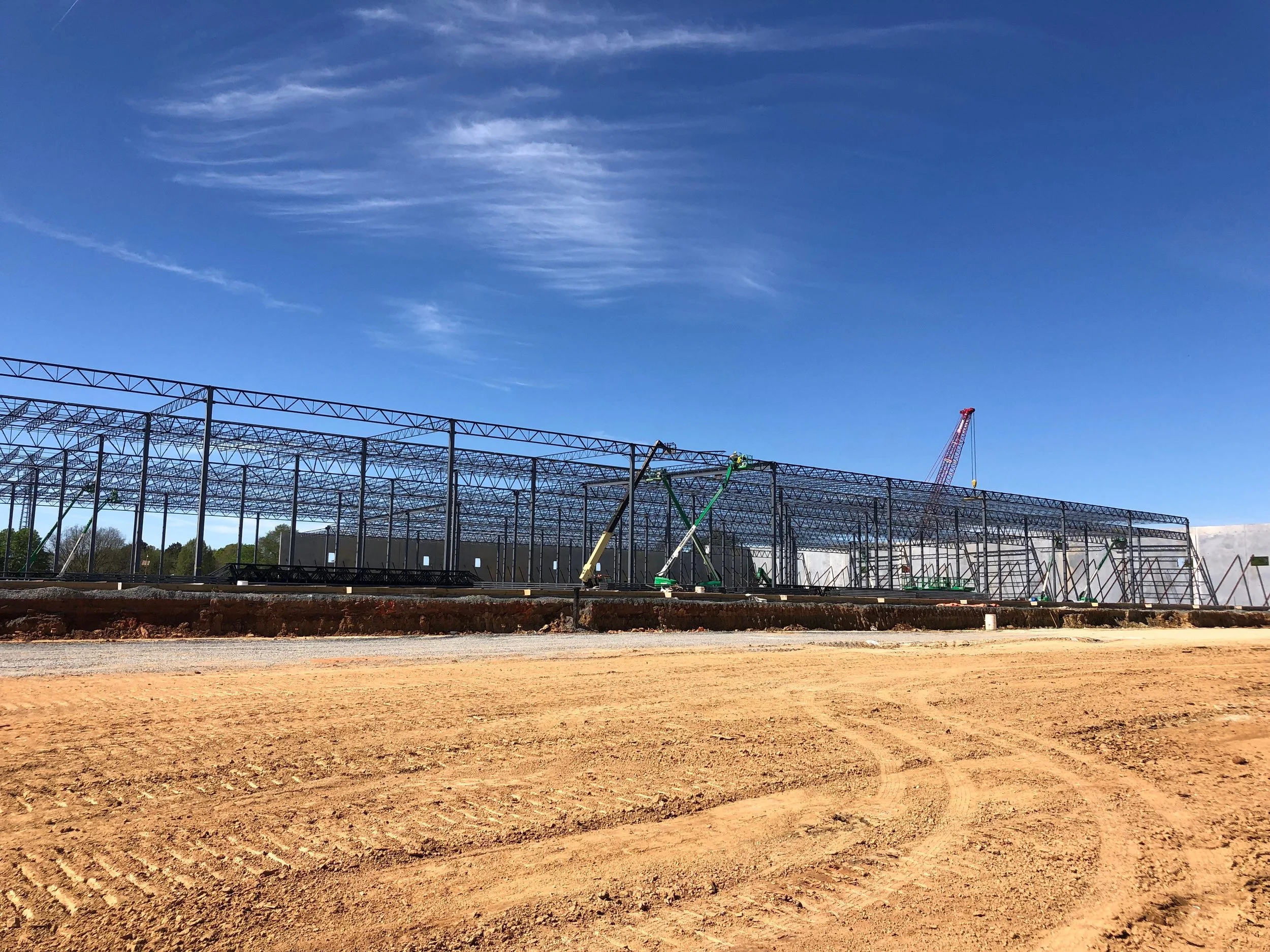
Construction Staking
Construction staking translates design plans into physical marks on the ground, guiding contractors during building and infrastructure projects. From foundations and utilities to roads and bridges, we provide accurate layout that ensures projects are built in the right place, to the right dimensions, the first time.
-
Machine Control
We support machine control technology, which integrates GPS-guided systems into heavy equipment for grading and earthmoving. By providing accurate 3D models and control data, we help contractors achieve precise results faster, reducing rework and saving costs on large-scale construction projects.
-
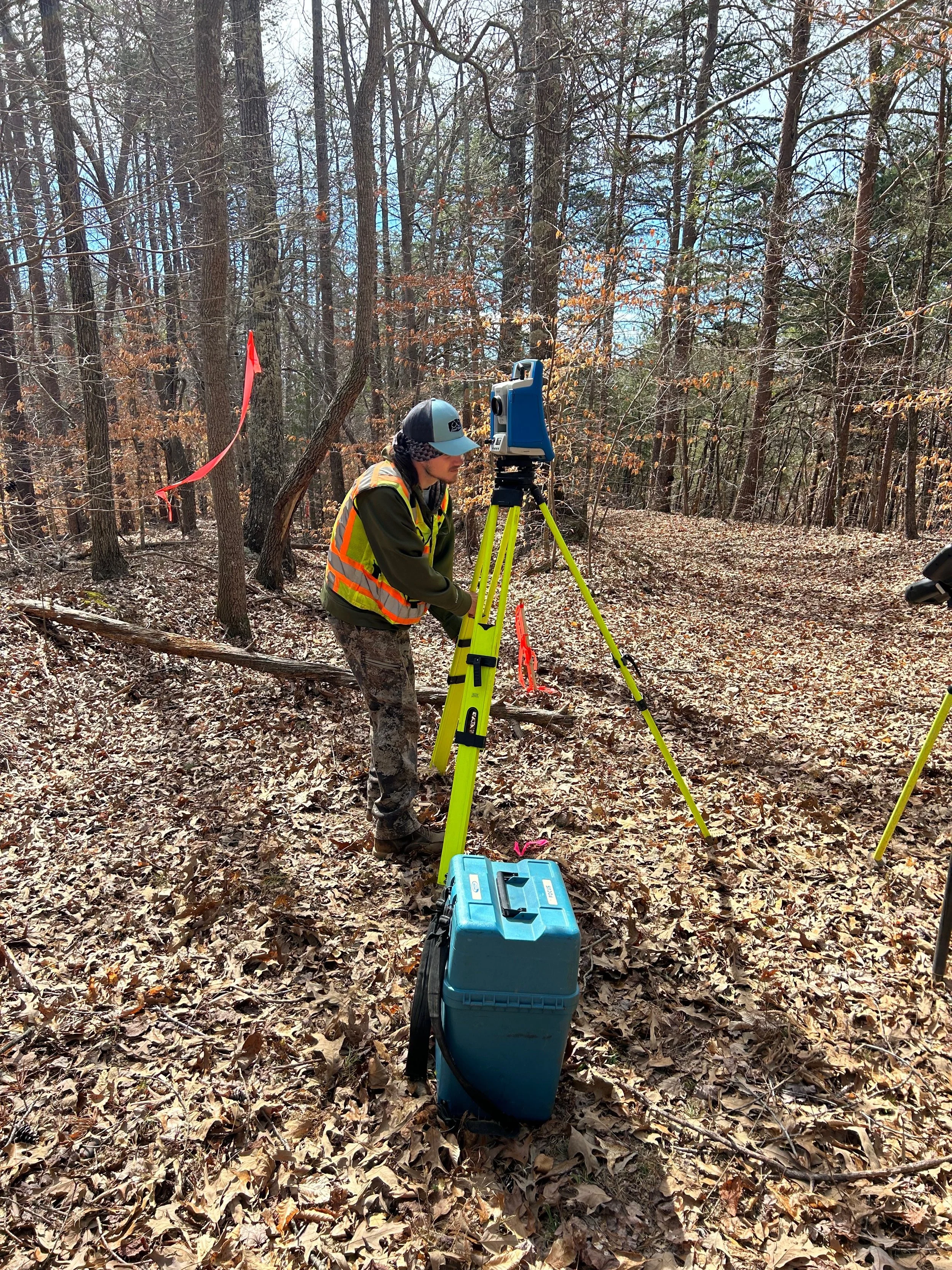
Tree and Topographical Surveys
Tree and topographical surveys map natural and man-made features, including elevations, vegetation, drainage, and structures. These surveys are essential for environmental planning, landscape design, and development approvals. We provide detailed, accurate maps that give planners and engineers the information they need to make informed decisions.